Landowner Toolbox

Learning a craft starts with choosing and mastering the tools of the trade. Toolboxes contain are organized to help you perform a specific task. This landowner toolbox is organized into four color coded sections:
Soil
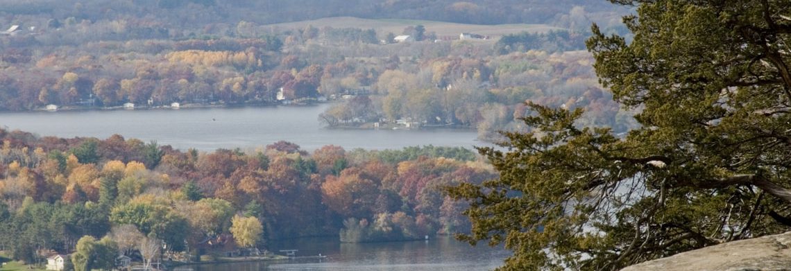
It all starts with the soil. Every natural community is defined by the plants and animals that thrive on available soil. Understand the soil(s) on your property will let you choose the plants that will succeed. Those plants, will in turn, determine the animals that will make their home on you property.

RCS Web Soil Survey – It all starts with the soil. The soil on your property determines what plants will thrive and which will struggle. Wise land stewardship begins with understanding how to work with your soil to take advantage of what it has to offer. Your soil will determine the natural community that will be the most successful. The Natural Resources Conservation Service has an interactive app that lets you identify the soils on your property. It can be a bit twitchy to learn, so it is a good idea to start at their landing page.

Wisconsin Statewide Parcel Map is an interactive map published by the State Cartographer. It can help you find out who owns a property parcel.
Plants
When European explorers and traders first entered Wisconsin, they found a verdant land of astounding diversity both of plants and wildlife. Few other states have the variety of natural communities and plant species. Using data recorded during the initial survey of the state in the 1840s, the Wisconsin DNR created an online application that allows landowners to get a good sense of the trees that existed at the time of settlement. Knowing that information helps to identify the natural communities that evolved foloiwng the last ice age, informing wise land management choices.
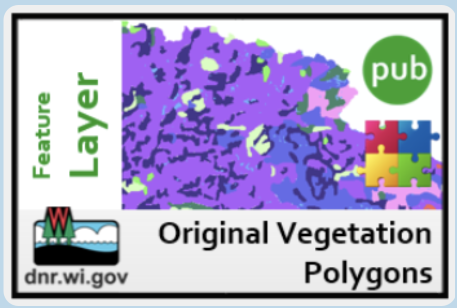
Original Vegetation Polygons is an online application with information about the tree species identified by the surveyors who performed Wisconsin’s initial land survey. Surveyors noted the dominant trees along each section boundary and this application is based on that data. It is the best source of information available about the vegetation at the time of European settlement.
Identification and Classification

USDA Plants Database provides information about individual plants, both native and introduced. This is a good starting point for individual plants if you know its name.
WisFlora Database is a digital compilation of data from all of the major herbarium collection in Wisconsin. Clicking on the occupancies link lets you see where any plant in its collection has been recorded going back to the 1920s. With more than 400,000 entries, it is the best source of native plants for Wisconsin. Each entry also includes an interactive map, as well as plant checklists for each county in the state.

Intergrated Taxonomy Information System (ITIS) does one thing really well; it clarifies every living thing within a hierarchy called a taxonomy with each species assigned an accepted name and Taxonomic Species Number (TSN). In case you don’t know it every plant has both a common name and a scientific name. Problem is that the same plant can often have several common names and sometimes that common name can refer to several different plants, so getting the right name can be confusing. To make things worse, there can be several different scientific names for the same plant, as well. This has become more common as taxonomists moved from using plant morphology (distinguishing features of a plant), to classifying and naming species based on their genes. ITIS was created to resolve these discrepancies by assigning each plant species its own TSN number. That number is used to make sure that regardless of the name, each species has its own agreed upon TSN.
GoBotany: Simple Key for Plant identification is the tool to pick up when you are don’t know what plant you are looking at. Look at the plant and click on the category that best describes the plant. Continue the process until you find your plant. Because the website uses lots of botanical terms you may not know, you can usually hover over the term and GoBotany will give you a definition.
Wisconsin Endangered and Threatened Species Laws List contains all plants and animals protected under Wisconsin State Statute.
Diseases

UW Plant Disease Diagnostic Clinic receives plant samples and provides a diagnoses. This is a fee based service. You can choose to either submit physical samples send in photos for a digital diagnosis. Submitting physical samples will allow for the most reliable results. In either case, it is important that you follow the sample collection and submission process. Keep in mind that this clinic is for plant diseases. If you suspect your plant is being attacked by a plant pest, refer to the section below.
Pests

UW Insect Diagnostic Lab receives plant samples and provides an identification of the invading pest. Homeowners are encouraged to first check with their local extension office for help as many samples can be handled in a more efficient manner locally. Mail in samples, emails (with pictures if possible) and walk-in samples are all accepted.
Animals
Wisconsin Endangered and Threatened Species Laws List contains all plants and animals protected under Wisconsin State Statute.

Bugwood Insect Images is an online collection of insects with links to collection for other invertebrates. The Bugwood image collections are maintained by University of Georgia and are used extensively by entomologists and field biologists to aid with identification.
Intergrated Taxonomy Information System (ITIS) provides the accepted name, common and scientific, for each animal species, as well as an identification number referred to as the TSN. (See description above)
Prescribed Fire

WisBurn display a current map of fire danger for every county in Wisconsin. This Wisconsin DNR webpage lets you click on your county and see its current burning restrictions.

Great Lakes Fires and Fuels Map is meteorological hazard analysis tool that indicates fine fuel moisture code, which is an important indicator of potential wildfire behavior. An FFMC of at least 75 is typically required for ignition and spread in many forest fuel complexes. While it should not be the deciding factor for prescribed fire operations, it is one good indicator of fire activity.

AirNow Fire and Smoke Map displays an interactive map with sample locations along with their current Air Quality readings. They display hourly readings of 2.5 micron particulate matter in parts per liter. The air quality index shows color codes for readings in ranges from Good to Hazardous. Prescribed burning should be curtailed when air quality conditions exceed Moderate range.

US Weather Service Fire Weather Forecast provides current forecast of weather conditions for the next 48 hours. Simply enter the zip code where you wish to burn; wait a moment and if that zip code covers more than one town, a dropdown list will appear allowing you to select the town where you intend to burn.

Fire Effects Information System is an online database of information about the effects of fire on specific species, mostly trees and shrubs. You can also use the advanced search to find Species Reviews, Fire Regimes, or Fire Studies by species’ name, location, plant community, and/or other criteria.
WPFC Burn Plans is your one-stop shop for prescribed burning tools from the Wisconsin Prescribed Fire Council. There you will find links to a sample burn plan, guidelines for burn plan preparation, list of safety equipment, training standards and a Go-No-Go Checklist to keep you safe.